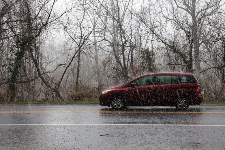
The weekend was a stormy one in the D.C. region, with scattered showers and storms bringing hail to some areas. Jordan Evans, 7News First Alert Meteorologist, said there was a lot of heavy rain overnight Saturday into Sunday mostly in Montgomery County, Maryland, and Loudoun County, Virginia. Storms continued on Sunday evening with clouds and scattered thunderstorms seen throughout the D.C. area. It was cooler on Sunday afternoon and evening as well with “temperatures down to 63 and a light Southeast wind,” Evans said. Showers tapered off Sunday evening with temperatures dropping back to the mid 60s, but the risk of storms was still there going into Monday as temperatures climb into the mid to high 70s. Evans said to watch out for some “patchy, dense fog” on Monday. “Just a few showers to start but scattered thunderstorms later in the day,” Evans said about Monday’s forecast. “Some of those storms may have some large hail.” There could be more sun than clouds expected Tuesday, with an isolated thunderstorm risk during the afternoon. By Wednesday, residents across the region will experience the driest day of the week, according to 7News First Alert Meteorologist Mark Peña. But, that doesn’t necessarily mean there won’t be any rain drops falling. A chance for show will emerge after sunset, he said. The rain will continue into Thursday, with a few afternoon showers.
D.C. area rocked by hail

To view this content from @MikeMurilloWTOP on X, click here.
Reporting from Clarksburg, Maryland, WTOP’s Mike Murillo described seeing hail the size of marbles on Saturday. “I was actually out and about and pulled into a friend’s garage to get out of it,” he said. “It was pure hail falling down onto the street.”
To view this content from @MikeMurilloWTOP on X, click here.
- Listen to WTOP online and on the radio at 103.5 FM or 107.7 FM.
- Current traffic conditions
- Weather forecast
- Closings and Delays
- Sign up for WTOP email alerts
- Get custom alerts with the WTOP app for Apple and Android phones
Forecast
MONDAY: Scattered storms Highs: 75-78 Winds: Southeast 5-15 mph Storm chances continue with the risk for heavy rain, lightning, gusty winds and large hail. Widespread severe weather is not expected.TUESDAY: Partly cloudy Highs: 73-76 Winds: West 10 mph Mostly cloudy with isolated to scattered afternoon showers and storms.WEDNESDAY: Mostly sunny Highs: 70-75 Winds: West 5-10 mph Likely the driest day of the week with mostly sunny skies and seasonable temperatures. Chance for showers increases after sunset.THURSDAY: Chance for showers Highs: 73-78 Winds: Northwest 5-10 mph Mostly cloudy with a chance at a few afternoon showers.
Current conditions
Get breaking news and daily headlines delivered to your email inbox by signing up here.
© 2025 WTOP. All Rights Reserved. This website is not intended for users located within the European Economic Area.