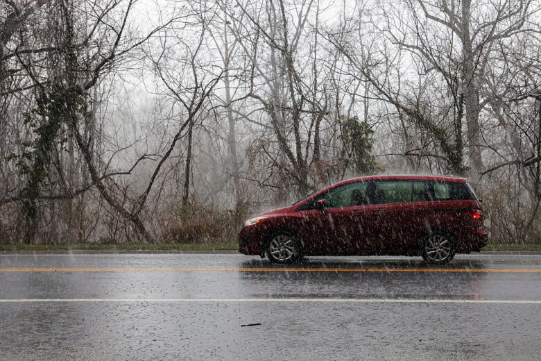
The D.C. area rung in the work week on Monday with scattered storms that had the potential to bring lightning, gusty winds and large hail to the region. Severe weather began moving into the region around 5:45 p.m., when the National Weather Service issued a severe thunderstorm warning for areas of south of D.C. as the storms moved north. The possibility of severe weather stuck around until later Monday night, WTOP Meteorologist Mike Stinneford said. A severe thunderstorm watch was in effect for most of the D.C. region until midnight, but Stinneford said the worst of the weather should have left the area by 10 p.m. “There’s some very large hail here, along with some damaging winds and, keep in mind, there’s a lot of shear in the atmosphere here. So we could get a couple of isolated, spin-up tornadoes too. So hail and high winds the main threat, along with an isolated tornado,” Stinneford said. Due to severe thunderstorms, the Federal Aviation Administration said Reagan National, Dulles International and Baltimore Washington International airports faced ground delays. Between 1.5. and 3.5 inches of rain had already fallen in the area and additional rainfall amounts of 1 to 2 inches was expected. Areas expected to experience flash flooding include Brunswick, Arnoldtown and Braddock Heights. The storms potentially packed quarter-sized hail and wind gusts reaching nearly 50 mph. Highs on Monday reached the low to mid 70s with high humidity.

To view this content from @NWS_BaltWash on X, click here.
The rain will continue to stick around Tuesday, but the weather will be a little drier mid-week. On Tuesday afternoon, the humidity is expected to drop. “Tuesday will be a little brighter by the afternoon with highs in the 70s,” Whelan said. “Still a chance for storms on Tuesday.” Wednesday will bring some more sunshine with a high of 75 and the potential for some light showers.
- Listen to WTOP online and on the radio at 103.5 FM or 107.7 FM.
- Current traffic conditions
- Weather forecast
- Closings and Delays
- Sign up for WTOP email alerts
- Get custom alerts with the WTOP app for Apple and Android phones
FORECAST
MONDAY NIGHT: Showers, storms ending early, followed by patchy fog Lows: 57-65 Winds: Light Wet weather will taper off, but it will remain cloudy and damp overnight with areas of patchy fog possible.TUESDAY: Partly sunny with scattered showers and storms Highs: 72-77 Winds: Southwest 5-10 mph Skies will be a bit brighter Tuesday, but it will remain a bit unsettled with lingering chances for showers and storms, as the upper level low spins overhead.WEDNESDAY: Partly cloudy Highs: 74-77 Winds: Northwest 5-10 mph Nice weather is expected midweek with a nice mix of sun and clouds, seasonable highs in the 70s, and comfortable humidity levels.THURSDAY: Chance for showers Highs: 73-78 Winds: Northwest 5-10 mph
CURRENT CONDITIONS
Get breaking news and daily headlines delivered to your email inbox by signing up here.
© 2025 WTOP. All Rights Reserved. This website is not intended for users located within the European Economic Area.