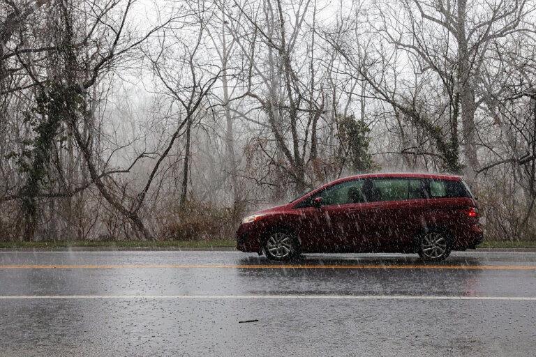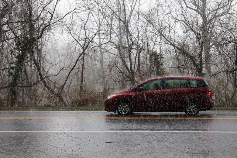
Wintry weather has largely diminished Tuesday afternoon after Christmas Eve kicked off with freezing rain, sleet and even some snow flurries in parts of the D.C. region. Here’s what you need to know.
Sunshine has begun to break up clouds and dry out area roadways after wet weather made for icy, slick conditions Tuesday morning.
Temperatures in the 20s and 30s helped that wintry mix to stick on elevated surfaces in the morning.
Though a few slick spots may remain, highs rose into the 40s Tuesday afternoon, transitioning the earlier wintry mix into mostly rain.
“We’ve still got that messy mix of rain and sleet across the far southern suburbs, especially around the Orange area and then stretching eastward through much of Spotsylvania County,” said WTOP Meteorologist Mike Stinneford.
A past Winter Weather Advisory for much of the D.C. region expired at 1 p.m., according to the National Weather Service.
- Listen to WTOP online and on the radio at 103.5 FM or 107.7 FM.
- Current traffic conditions
- Weather forecast
- Closings and Delays
- Sign up for WTOP alerts
According to the weather service, up to a few hundredths of an inch of total ice accumulation was forecast, as is a tenth-of-an-inch dusting of snow.
WTOP Traffic recommended drivers and holiday travelers use extra caution on area roads.
The rest of the day is expected to be dry and overnight lows are forecast in the low 30s.
For those celebrating Christmas or the first night of Hanukkah, Wednesday will be chilly with a mix of sun and clouds.
Prepping for potential ice, snow
D.C. deployed snow teams Monday night to treat roads with brine, and in a statement, the city’s Office of Emergency Management said teams would be on standby Tuesday morning to respond to ice complaints. The statement also advised residents to spread salt, sand or cat litter on sidewalks to prevent slips.
Maryland crews were also out pretreating roads Monday, especially those in the northern and western portions of the state, where it’s expected to snow.
“Ice is nobody’s friend. You know, ice is very dangerous. So that’s why we’re trying to get word out right now. And we’re going to have crews out way early before the precipitation even starts. And again, where we pretreated that’s going to really help us,” said Charlie Gischlar, deputy director of communications for the Maryland Department of Transportation’s State Highway Administration.
Outages:
WTOP Forecast
TUESDAY AFTERNOON: Rain, freezing rain and sleet over the southern suburbs gradually ending. Some peeks of sunshine. Highs low to mid 40s
TUESDAY NIGHT: Partly to mostly cloudy. Lows upper 20s to lower 30s
CHRISTMAS DAY: Partly sunny. Highs 40 to 45
THURSDAY: Partly to mostly sunny. Highs in the mid 40s
FRIDAY: Sunny. Highs near 50
WEEKEND OUTLOOK: A chance of showers. Highs in the 50s
Current conditions
WTOP’s Matt Small and Jessica Kronzer contributed to this report.
Get breaking news and daily headlines delivered to your email inbox by signing up here.
© 2024 WTOP. All Rights Reserved. This website is not intended for users located within the European Economic Area.