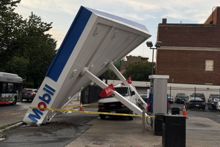
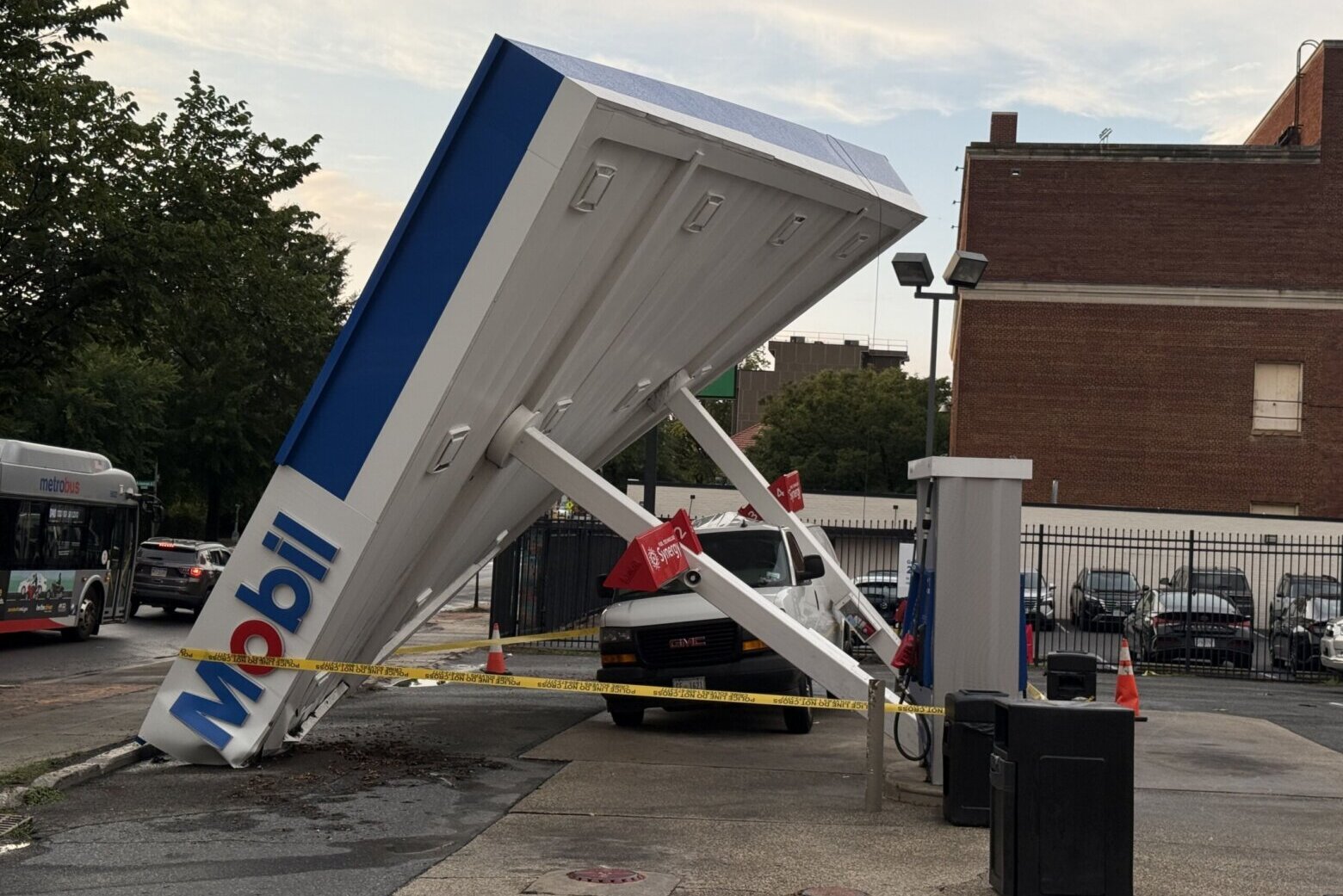
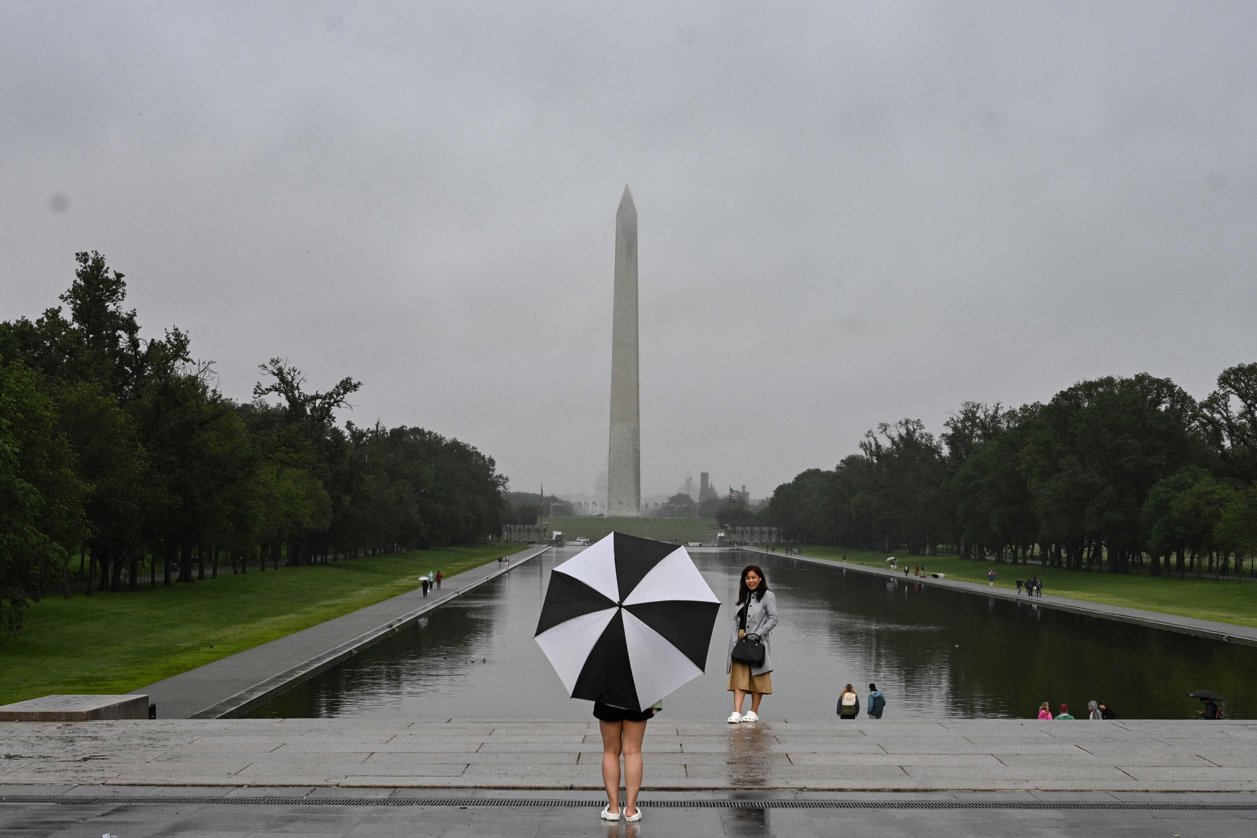
After seeing hot and humid weather on Saturday, parts of the D.C. region was hit with strong to severe storms in the evening hours.
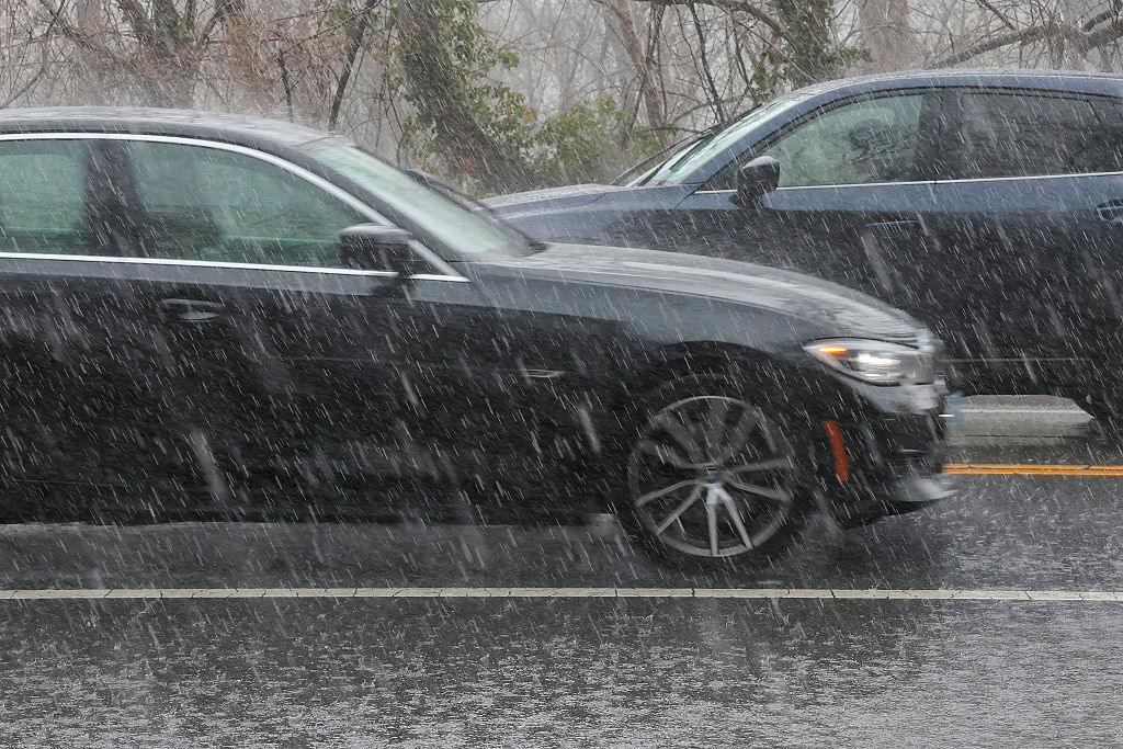
These storms could cause damaging winds, large hail and a possible isolated tornado. Also, the heavy rain could cause flooding.
After daytime temperatures were in the 90s, they will fall to the upper 60s to mid-70s.
Storms will end by midnight. WTOP Meteorologist Mike Stinneford said “we will see muggy conditions and some fog” overnight.
Sunday will have similar sunshine but there will be isolated afternoon and evening thunderstorms. Highs will be in the upper 80s to lower 90s. A map outlining all cooling centers in the nation’s capital has also been provided.
Monday and Tuesday’s forecast will also feature a risk of severe storms.
- Listen to WTOP online and on the radio at 103.5 FM or 107.7 FM.
- Current traffic conditions
- Weather forecast
- Closings and Delays
- Sign up for WTOP email alerts
- Get custom alerts with the WTOP app for Apple and Android phones
FORECAST
SATURDAY NIGHT: Widely scattered thunderstorms, mainly before midnight. Storms may produce damaging winds, large hail, and isolated tornadoes. Rain may be heavy at times. Lows in the upper 60s to mid-70s.
SUNDAY: Mostly sunny with isolated afternoon and evening thunderstorms. Highs in the upper 80s to lower 90s.
MONDAY: Partly sunny with afternoon thunderstorms. Storms may produce gusty winds and heavy rainfall. Highs in the mid- to upper 80s.
TUESDAY: Afternoon and evening thunderstorms. Storms may be severe. Highs in the low to mid-80s.