
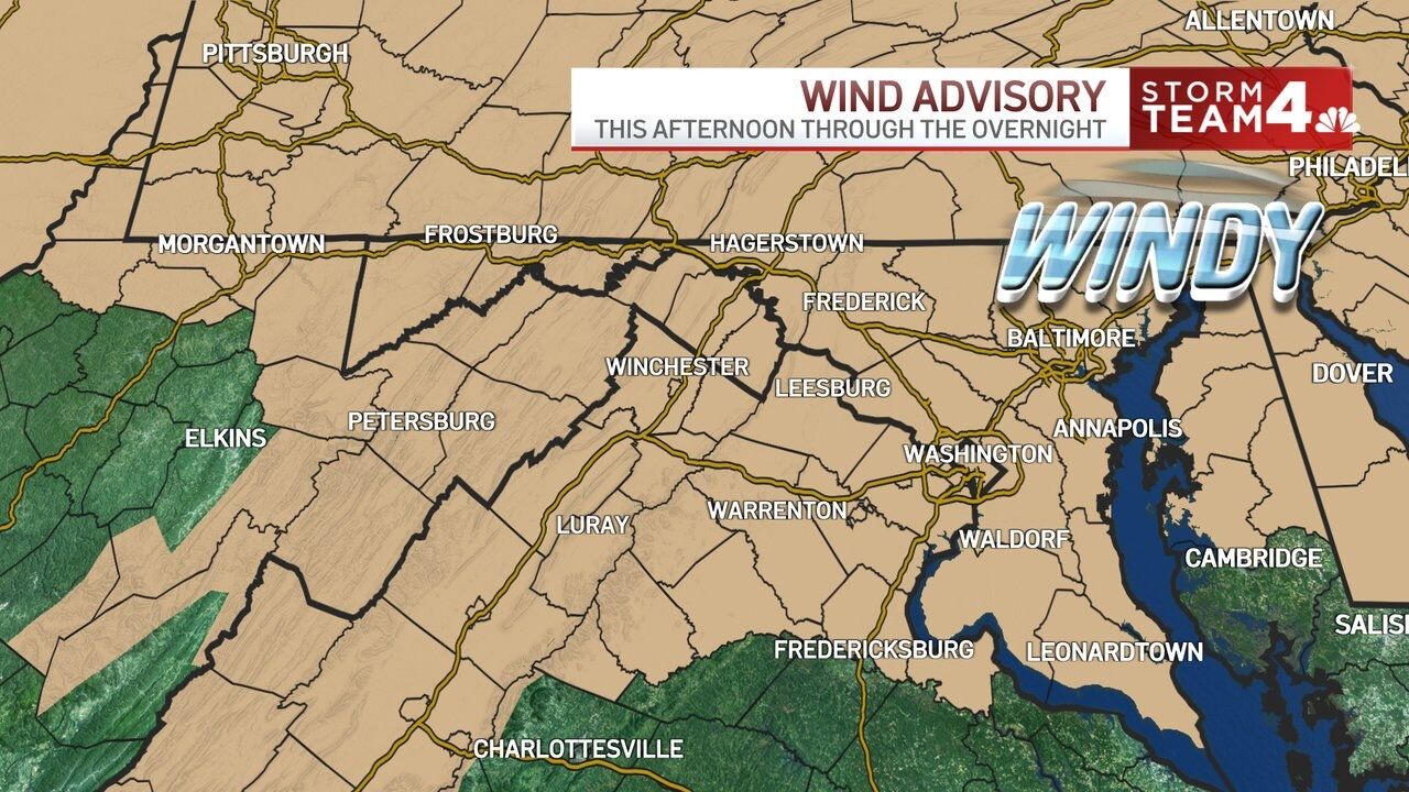
It’s go time for the damaging wind gusts. That squall line that is now moving through the northwest suburbs will have the potential to take down a bunch of tree limbs. @WTOP #DCwx #VAwx #MDwx pic.twitter.com/SDvYQkIatA
— Matt Ritter, WTOP Multimedia Meteorologist (@MetMattRitter) Dec. 12, 2021
The National Weather Service warned that these conditions could produce damaging winds.
Strong winds are expected today and tonight. A line of showers (perhaps an isolated thunderstorm) may cause damaging winds, especially this evening. See map for more details. pic.twitter.com/dRMqVm2OBA
— NWS Baltimore-Washington (@NWS_BaltWash) Dec. 11, 2021
Mild temperatures will grace the area through the first half of the workweek until topping out at around 60 on Thursday, per Ricketts, which will be followed by some rain and another cold front at the start of the weekend.
Forecast:
Sunday: Breezy, seasonably cool. Highs in the low 50s. Monday: Mostly sunny, slightly milder. Highs in mid to upper 50s. Tuesday: Sunny, warm. Highs in mid 50s.
Current conditions:
Power outages: